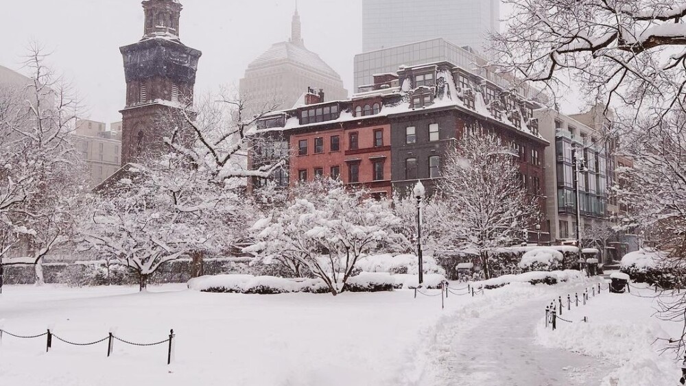
We know the question that’s on your mind, Bostonians — when’s it going to get wicked cold?
Thanks to the National Oceanic and Atmospheric Administration’s Climate Prediction Center, we know what temperatures and precipitation trends to expect in our city for December, January, and February. While exact weather conditions typically can’t be predicted more than a week in advance, here’s a seasonal outlook to help you prepare for winter.
Reminder: The official first day of winter is on Saturday, Dec. 21.
Temperature
Think warmer than we’re used to. This winter, Boston has a 40-50% chance of temperatures being higher than normal.
Precipitation
Our city is predicted to experience ordinary precipitation amounts for the season.
Drought
We’re keeping close watch on the drought across the state. As of mid-October 2024, Massachusetts — including the Boston area — was in “critical drought” due to precipitation at “an unprecedented low.” You can keep an eye on drought conditions via NOOA, too.
Here’s December’s deal
The average low temperature in December is 29.7° and the average high is 39.9°. December is one of the top three wettest months in our city (we really need that rain this year), and brings the least amount of sunshine, averaging just 4.7 hours per day.
Jump into January
Boston’s lows in January will dip down to 34.2° on average — and could plummet as low as 22.6°. January has previously been Boston’s coldest month + usually sees an average of 2.76 inches of snowfall. Predictions say we’ll see less than 30 inches of snow this winter. Bonus: Here are the NOAA’s winter safety tips.
Prepare for frigid February
Historically, February gets the most snowfall, and while last year the city saw just 9.8 inches for the whole season, we will want to keep those space savers nearby. The lows stay around 23.5°, with an average high temperature of 36.5°.


